A few months ago we instructed y’all to “pour one out for El Niño,” the friendly warm weather pattern that was expected to bring a milder than normal winter to Canada this year.
Turns out that’s only true for the part of the country east of Regina. Everything to the west will be around normal, which is hell, or below normal, which is then actually below the depths of hell.
“From Ontario to Atlantic Canada we are seeing a snowy sneak preview of what will become the dominant pattern for winter,” says Chris Scott, Chief Meteorologist at The Weather Network. So yeah, all that muck you’ve been dealing with already is going to continue probably until next Canada Day.

Here’s a more detailed breakdown:
British Columbia
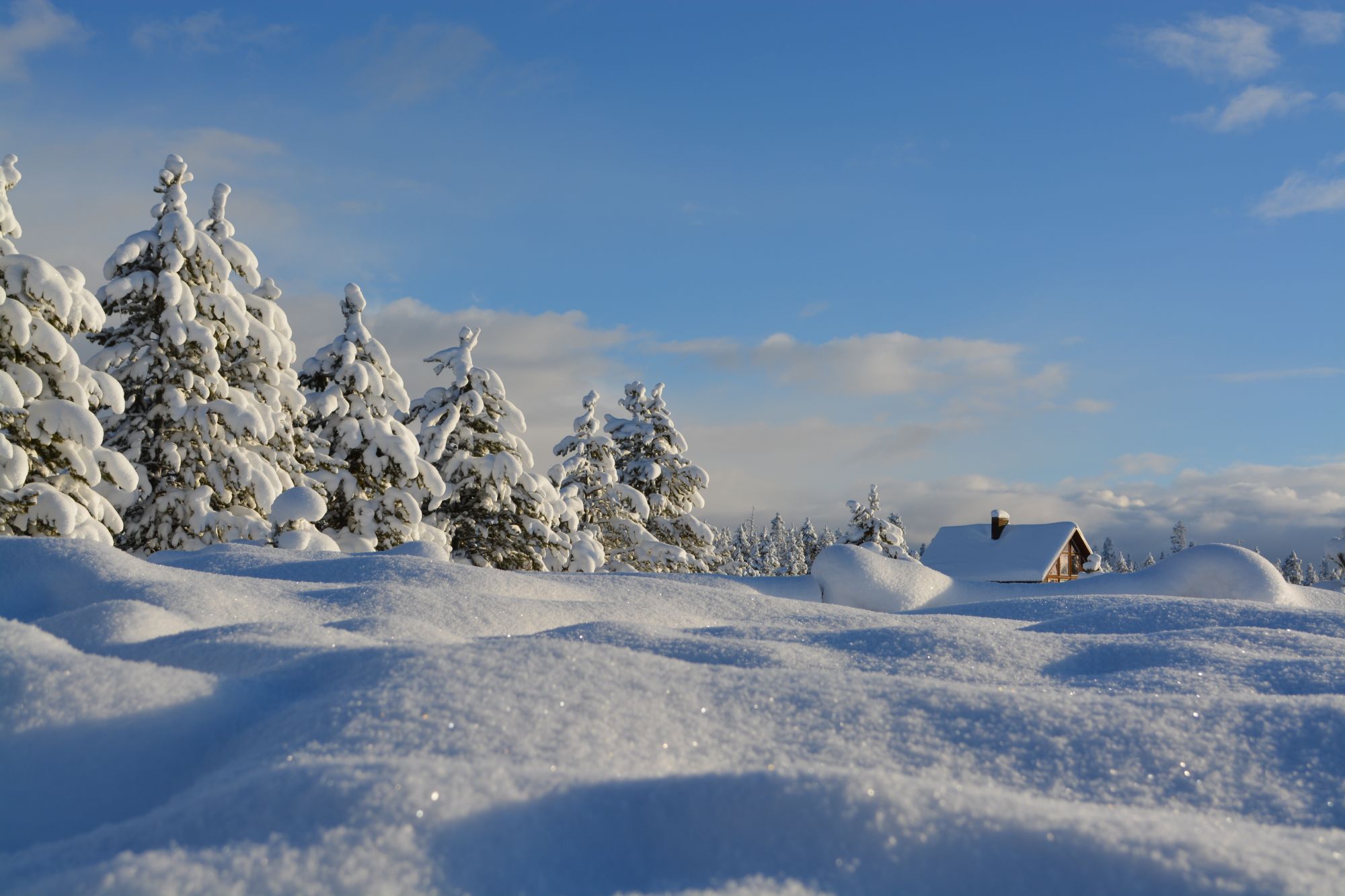
A mild winter is expected across the province with fewer episodes of arctic air in the Lower Mainland and fewer threats of significant snow in coastal areas and interior valleys. Below normal precipitation is anticipated with fewer storms and more periods of dry weather. However, the pattern will break down at times, potentially bringing an abundance of rain and mountain snow in a relatively short period of time. This should allow south coast rainfall totals to be close to normal despite the overall drier pattern. The ski season could be challenging at times, but is by no means a total write-off. Preliminary indications are also for an earlier arrival of spring weather.
The Prairies
The Prairies will be a battle zone between the mild Pacific air to the west and arctic air to the east. This will result in a changeable winter with back and forth swings in temperature, which are expected to tip to the mild side of normal across Alberta and into western Saskatchewan. However, these temperature swings should come close to offsetting each other across the eastern Prairies. While the final numbers are predicted to be near “normal” across Manitoba, the winter will feel anything but “normal”. Extended periods of harsh winter weather are expected, along with periods of mild weather. Most of the region is expected to see near normal or below normal snowfall with lower than typical concerns for spring flooding.
Ontario & Quebec
A long, cold winter is probable across most of the region. Colder than normal temperatures are already in the books for October and November and this pattern should dominate through the winter, especially during the season’s second half. Winter will take a breather at times during December and the traditional January thaw is still expected with the potential for an extended thaw before a bitter conclusion to winter. With frequent shots of arctic air bringing an abundance of lake effect snow to the traditional snow belts, near normal seasonal snowfall is anticipated despite fewer high impact storms than normal. However, areas outside of the snow belts, including the Greater Toronto Area, may fall short of normal snowfall. The region will be teased with early spring weather in March, but overall we expect a delay in the arrival of consistent spring warmth.
Atlantic Canada
November has provided Atlantic Canada with a preview of the long and stormy winter that is anticipated across the region. An active storm track from the Gulf of Mexico, up the U.S. East Coast and into Atlantic Canada is expected. While many of these storms will track offshore and keep snow as the dominant precipitation type across the region, some of these storms will track further north. This will bring very mild temperatures and rain at times, especially to southern areas where temperatures are forecast to balance out to near normal for the season. The winter pattern will also likely linger into early spring.